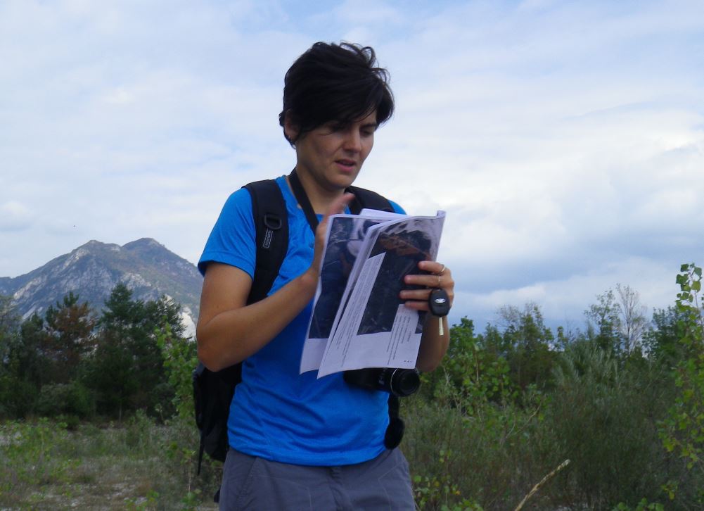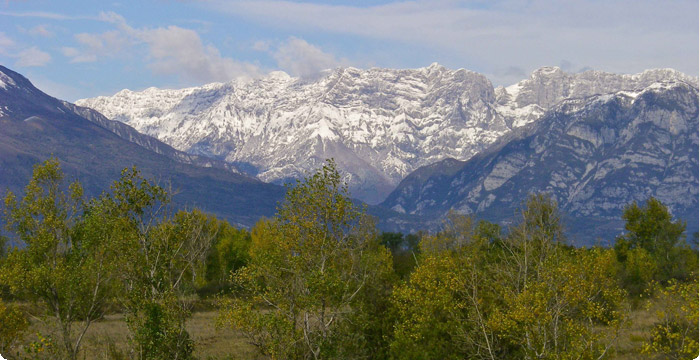
Ex ante monitoring of the habitats in need of restoration. Photo S. Fabian
PROJECT ACTIONS
MONITORING
SURVEYS ON
THE AGRICULTURAL LANDS THAT ARE TO BE RESTORED
The restoration of the dry grasslands, starting from degraded agricultural land, was preceded by the analysis of the condition of the ruderal vegetation and the weeds and of the physical-chemical features of the land for the purpose of obtaining the best results in terms of costs/benefits.
SURVEYS OF THE DEGRADED HABITATS TO BE CLEARED
Mowing and scrub clearing of the grasslands that risked afforestation processes, have also required preventive surveying and monitoring activities. It was, at first, necessary to identify the areas most subjected to the encroachment of shrubs and trees. The processes of alteration of the dry grasslands are accelerated by the invasion of non native bushes among which, above all, the false indigo bush (Amorpha fruticosa). Furthermore, the penetration of other exotic species has been noticed, such as, the butterfly tree (Buddleja davidii) and the north American poplar trees (Populus euroamericana - Populus canadensis) that substitute the native black poplar (Populus nigra). In a lesser way, depending also on the type of soil, the ailanthus (Ailanthus altissima) and the locust (Robinia pseudacia) can also be reported.
The operations for the requalification of grasslands need, first of all, geo-referencing (mapping via GPS survey) of the surfaces occupied by the invasive scrub which one intends working on. In order to evaluate the operations to be carried out in a more precise manner, it has been necessary to take into consideration both the qualitative and quantitative aspects of the forest cover (native or non-native). The rough or, vice versa, the regularity of the land was also evaluated, to verify the possibility of accessing it with mechanical means for the operations of restoration of the habitat.
The action was necessary in order to correctly evaluate the costs of scrub and forest clearing and mowing.
OTHER SCIENTIFIC MONITORING
The entire project activity was carefully monitored before, during and after the requalification operations, for the purpose of evaluating their effectiveness over time. For this purpose, the Biodiversity Department entrusted external tasks to professionals and experts capable of assisting the Region's technicians in their activity. Different methods were used for monitoring the vegetation coverage through permanent areas, phyto-sociological surveys and drone shootings.
At the end of the project, (end 2018 Ist semester 2019), all the data, the technical reports, maps, photographic documentation and related drone footage have been sent to the Region that has forwarded them to the European Commission which has the task of monitoring the technical results of the Project itself.
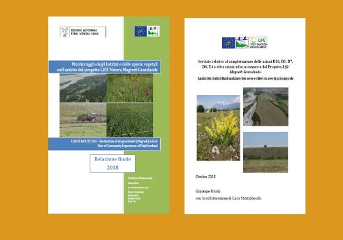
DOWNLOAD HERE THE FINAL RESULTS OF THE MONITORING

The documents of this Project that can be downloaded are and remain the propriety of the Region which makes them available for dissemination as materials of public interest.
The intellectual property of the technical, scientific and image contents may not be used by third parties in the context of other publications and written reports and presented as one?s own, not even in a public competition, without correctly quoting the sources and authors.
https://www.regione.fvg.it/rafvg/export/sites/default/RAFVG/ambiente-territorio/tutela-ambiente-gestione-risorse-naturali/FOGLIA405/allegati/relazione_finale_2018_Franc__prot.pdf
https://www.regione.fvg.it/rafvg/export/sites/default/RAFVG/ambiente-territorio/tutela-ambiente-gestione-risorse-naturali/FOGLIA405/allegati/relazione_finale_monitoraggi_LIFE_prot.pdf


